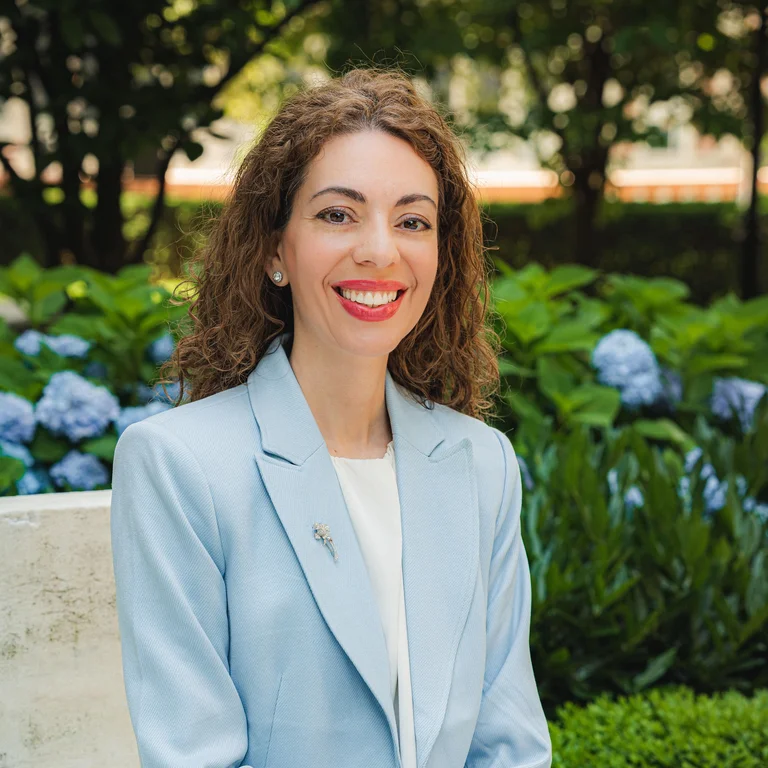
By Evangelia Ieronymaki, Ph.D., P.E., program director, M.S. in Project Management, Columbia University School of Professional Studies
At the 11th ASCE Forensic Engineering Congress, held October 22 to 25 in Orlando, Florida, our ongoing research investigating unusual ground movements in New York City was presented. The study examines localized uplift in parts of Brooklyn and Queens, where the ground is gradually rising despite the broader regional trend of subsidence.
The presentation, titled “Investigation of Long-Term Uplift Phenomena in Queens and Brooklyn, New York,” highlighted an ongoing forensic engineering investigation combining satellite technology, geotechnical engineering and historical groundwater records to better understand the causes and implications of these unusual ground movements. This research brings together contributors from Columbia University, Boise State University, EO59 and Schnabel Engineering, combining academic and industry expertise to investigate a complex urban infrastructure phenomenon.
I was also pleased to be joined at the Congress by Laudza Az Zahra, a student in the Columbia University M.S. in Project Management program who contributed to this research. Her participation provided an opportunity to engage with practicing forensic engineers and researchers and to experience firsthand how academic investigations contribute to professional discussions about infrastructure performance.
What is happening beneath New York City?
Using eight years of satellite radar observations, from 2016 to 2024, the research team identified two areas in Brooklyn and Queens where the ground has been rising at approximately 3 to 4.5 millimeters per year. Although these movements may seem insignificant, they can accumulate over time and potentially affect buildings, underground utilities, transportation systems and other critical infrastructure.
The investigation uses Interferometric Synthetic Aperture Radar (InSAR), an advanced satellite monitoring technology capable of detecting subtle ground movements across extensive urban areas. By combining these observations with geological information, groundwater records and engineering analyses, the researchers are working to understand why these neighborhoods behave differently from their surroundings.
One leading hypothesis involves the region's history of groundwater extraction. Decades of pumping lowered groundwater levels, potentially compressing underlying soil layers. As pumping declined and groundwater levels recovered, some of these layers may have begun to rebound, gradually lifting the ground surface.
Our preliminary geotechnical analyses suggest that groundwater recovery could explain part of the observed uplift. However, the calculations do not yet account for its full magnitude. Other potential contributing factors, including localized groundwater recharge associated with human activities, are also being investigated. This remains an ongoing investigation, with further research focused on refining our analyses, examining the behavior of deeper clay deposits and better understanding the mechanisms responsible for the observed movements.
Why does this matter for construction project management?
Ground conditions are among the most consequential uncertainties in construction and infrastructure projects. Unexpected subsurface behavior can lead to design modifications, construction delays, additional costs and disputes over responsibility. This research illustrates how emerging technologies and engineering expertise can support more informed project management decisions.
Satellite monitoring technologies such as InSAR offer a valuable additional perspective during project due diligence. By providing information about ground movements over time, they can complement conventional geotechnical investigations and engineering records, helping project teams establish more informed baseline conditions before construction begins. These historical observations can also become particularly important when unexpected ground movements or structural distress arise, supporting forensic investigations and helping distinguish preexisting conditions from potential construction impacts.
The implications are especially relevant in densely developed urban environments such as New York City, where underground construction, foundations, utilities and transportation networks interact with complex geological conditions. Managing projects in these environments requires an understanding of both the present site conditions, and how past activities may continue to influence infrastructure performance.
Ultimately, this research demonstrates the growing importance of integrating advanced technologies, technical expertise and data-informed decision making into project management. While project managers may not perform satellite analyses themselves, they must be able to interpret technical findings, ask informed questions, collaborate with specialists and translate complex information into decisions affecting project scope, cost, schedule and risk. These capabilities extend well beyond construction and reflect the increasingly interdisciplinary nature of project management across industries.
Connecting research, education and practice
Our research has been supported by the Columbia University School of Professional Studies Dean's Applied Research Award, while Laudza Az Zahra received support from the Indonesia Endowment Fund for Education (LPDP). The investigation also benefited from access to COSMO SkyMed satellite data through the EO59 portal, provided under license by the Italian Space Agency (ASI). These contributions have been instrumental in advancing an investigation that brings together academic research, engineering practice and international collaboration.
As program director of Columbia University's M.S. in Project Management, I see a strong connection between investigations of this nature and the capabilities we aim to develop in our students. Complex projects require more than technical knowledge or proficiency in managing schedules and budgets. They demand analytical thinking, the ability to evaluate uncertainty, familiarity with emerging technologies and the capacity to collaborate across disciplines to make informed decisions.
The opportunity to involve a graduate student in this research and share our findings with the professional engineering community reflects the value of connecting academic learning with real-world challenges. As our investigation continues, we look forward to further exploring the mechanisms behind these unusual ground movements and their implications for infrastructure, while continuing to bring insights from research and professional practice into the education of future project leaders.
Views and opinions expressed here are those of the authors and do not necessarily reflect the official position of Columbia University School of Professional Studies or Columbia University.
About the Program
The Columbia University Master of Science in Project Management program equips individuals with the strategic, analytical, and leadership skills essential for a successful career managing complex projects across industries and borders.
Available full-time or part-time, the M.S. in Project Management is designed for professionals who want to advance into leadership roles or formalize their project management experience with a strong academic and practical foundation. Students can opt for the general Project Management program or choose from one of the four specialized concentrations: Construction, Sports Management, Sustainability Management, and Technology Management.
Taught by scholar-practitioners and enhanced by Columbia’s location in New York City, the curriculum integrates emerging digital tools and AI-driven practices to help graduates make data-informed decisions and improve operational efficiency. Graduates will be prepared to lead high-stakes projects with confidence and clarity, and return to the job market with a competitive edge.